»Ok – Castle«
»Ok – Castle«
PROJECT BY Leonie Kaltenegger, Daniel Derflinger,
Vinzent Wallner, Valerie Danzer, Jennifer Ochwat
Where does a city allow for individuality? Can you see this individuality, measure or map it? How do people intervene in urban spaces, besides adding objects? Is there such a thing as an invisible intervention? Is the city perceived in different ways? How do we orient ourselves in the city?
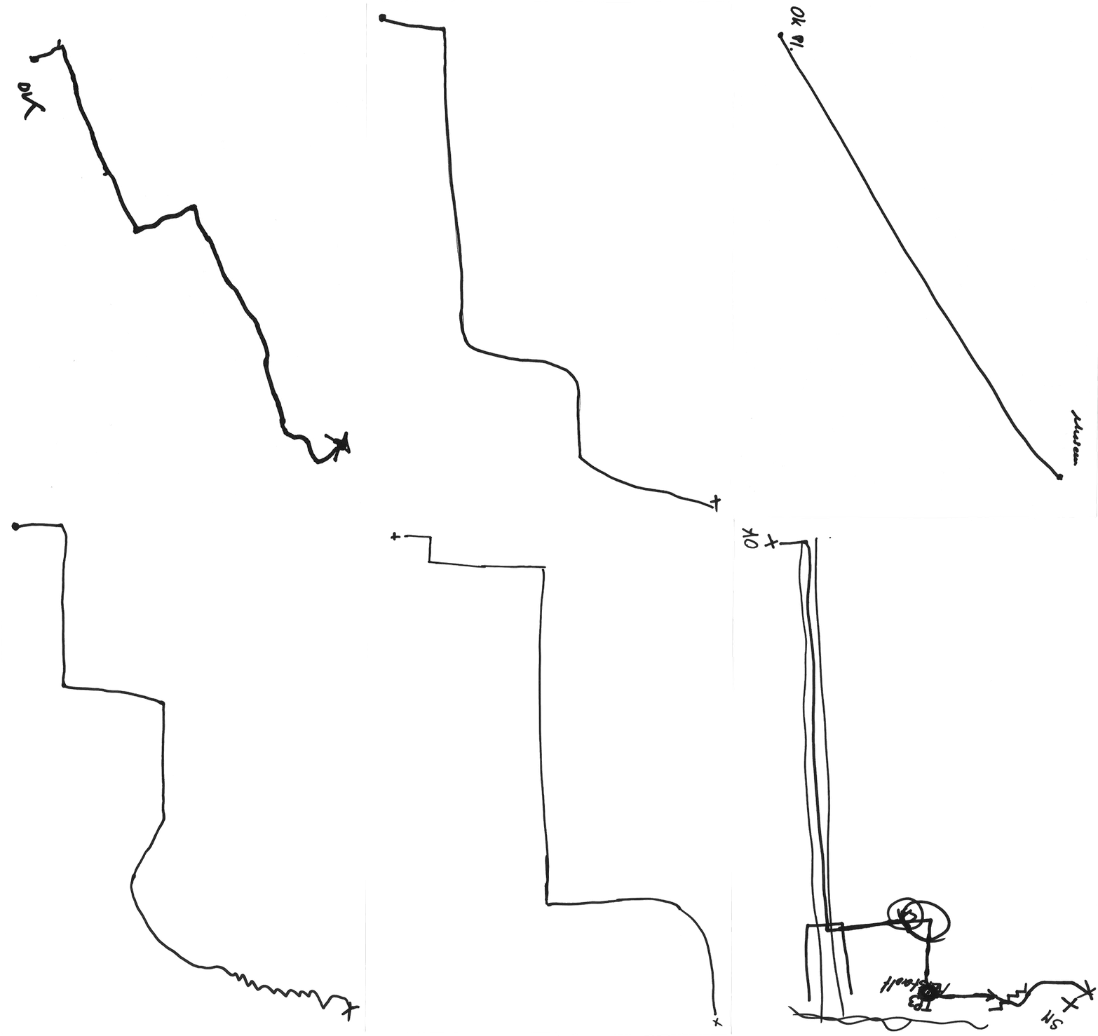
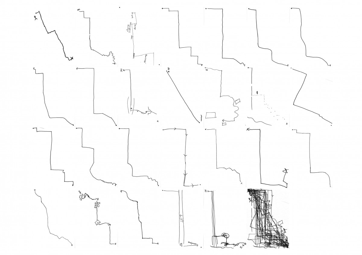
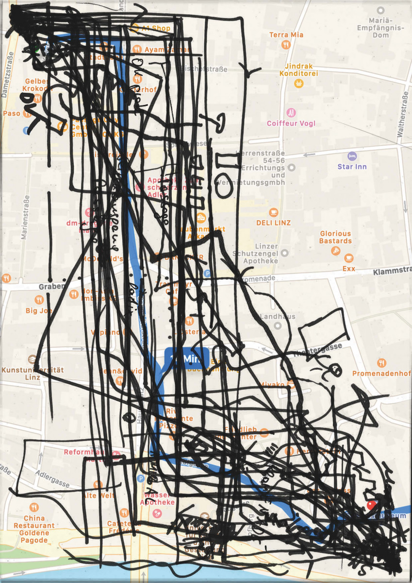
„Ok – Schloss“ („OK – Castle“) is an attempt to visualize the individuality of paths within a city. Depending on which way one chooses to move through a city, one perceives different aspects. These paths remain invisible in the cityscape.
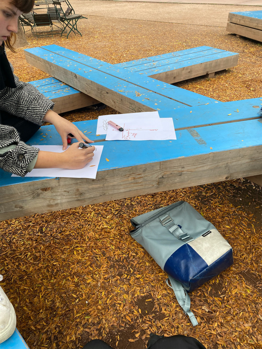
Google Maps calculates the shortest way to get from point A to point B, mathematically, without really knowing the city. But how would inhabitants walk this distance? For Expedition #1, we asked 26 different residents and passers-by in the city of Linz to draw the route they would take from OK Platz (OK Square) to the old city castle, mapping varying pathways, invisible habits, and differences in orientation.
